

Makaleler
46
Tümü (46)
SCI-E, SSCI, AHCI (40)
SCI-E, SSCI, AHCI, ESCI (41)
ESCI (1)
Scopus (40)
TRDizin (6)
11. Determination of long-term volume change in lakes by integration of UAV and satellite data: the case of Lake Burdur in Türkiye
Environmental science and pollution research international
, cilt.30, sa.55, ss.117729-117747, 2023 (SCI-Expanded, Scopus)


16. Multi-temporal analysis of inland water level change using ICESat-2 ATL-13 data in lakes and dams
ENVIRONMENTAL SCIENCE AND POLLUTION RESEARCH
, cilt.30, sa.6, ss.15364-15376, 2023 (SCI-Expanded, Scopus)


30. Identifying Land Subsidence Using Global Digital Elevation Models
IEEE JOURNAL OF SELECTED TOPICS IN APPLIED EARTH OBSERVATIONS AND REMOTE SENSING
, cilt.14, ss.8989-8998, 2021 (SCI-Expanded, Scopus)

37. Evaluation of image fusion methods using PALSAR, RADARSAT-1 and SPOT images for land use/land cover classification
JOURNAL OF THE INDIAN SOCIETY OF REMOTE SENSING
, cilt.45, sa.4, ss.591-601, 2017 (SCI-Expanded, Scopus)
40. COMPARISON OF CROP CLASSIFICATION METHODS FOR THE SUSTAINABLE AGRICULTURE MANAGEMENT
JOURNAL OF ENVIRONMENTAL PROTECTION AND ECOLOGY
, cilt.17, sa.2, ss.648-655, 2016 (SCI-Expanded, Scopus)
Hakemli Bilimsel Toplantılarda Yayımlanmış Bildiriler
58

Kitaplar
1
Metrikler
Yayın
107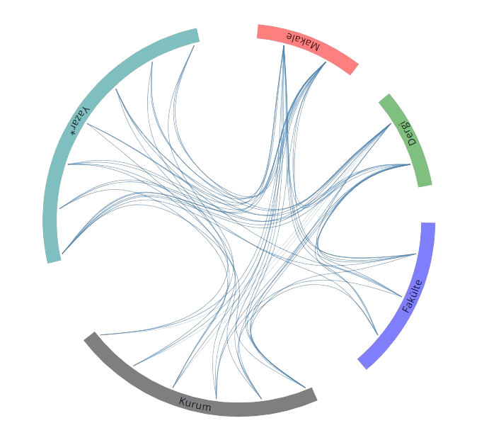
Açık Erişim
33
BM Sürdürülebilir Kalkınma Amaçları